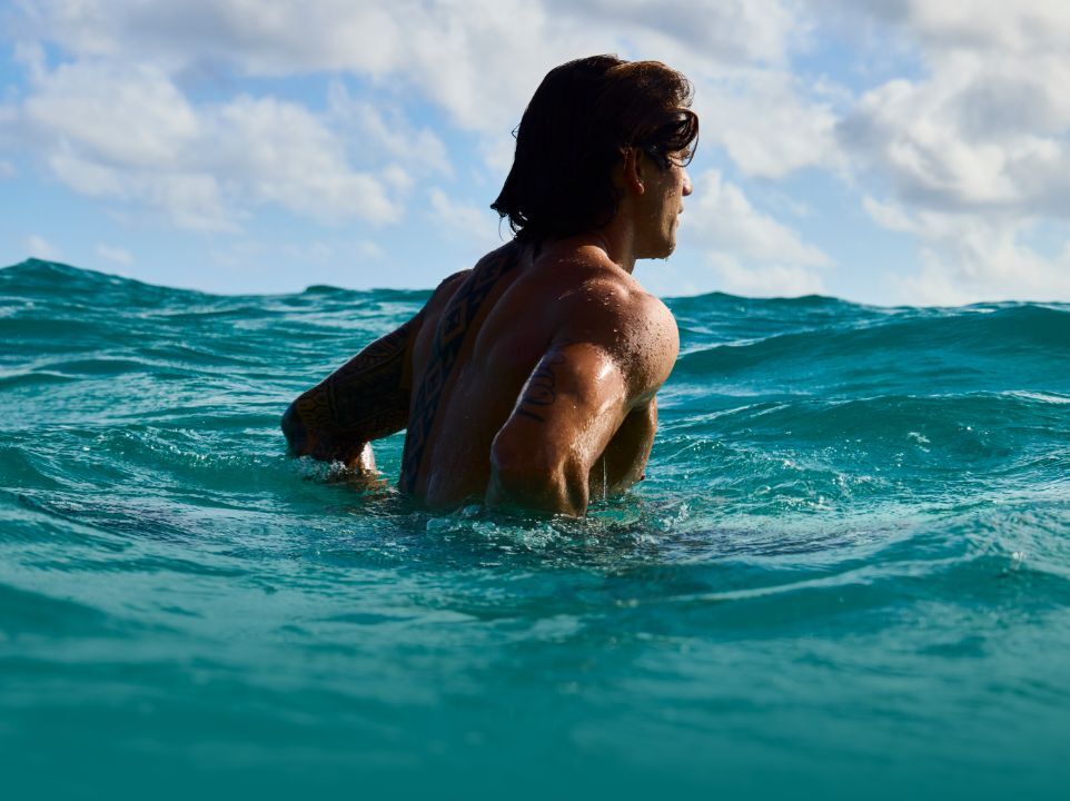
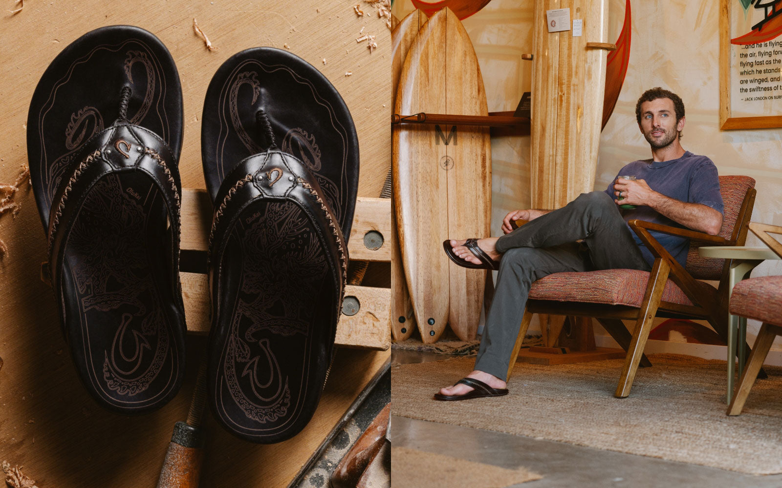
The 2015/2016 El Niño winter has sent plenty of swell puling through the Pacific. Despite all the energy, the most prestigious big wave contest in the world, The Quiksilver Big Wave Invitational in Memory of Eddie Aikau, has not run. To shine some light on the relationship between El Niño and The Eddie, we interviewed University of Hawaii meteorologist, Chris Holloway.
OluKai: Why didn’t the Eddie run last time? Chris: The team in charge of the Eddie call seemed a bit over-confident before they had sufficient data to make a decision. They gave the contest a green light before the storm really occurred. So the swell prediction models were based on a fetch and wind speeds that didn’t actually exist yet. Even if the forecast had been perfect, the predicted swell barely surpassed minimum requirements for the Eddie (20 foot significant swell height sustained for 8 hours). The almost-Eddie swell had the potential to be contestable, but the contest directors made the call without sufficient data, and by the time the hype machine got rolling, it was too late. Based on the buoys the night before, no one was surprised when the bay was practically flat that morning. Most of the contestants had already headed over to Maui to surf Jaws.
What about this last huge swell? Why didn’t this huge storm produce contestable conditions? The location of that particular storm was too close to the island chain, so it disrupted the usually consistent Northeast trade winds into a more North/Northwest flow. Also, due the distance, the storm surges were more irregular. Conditions on Monday weren’t very good. The winds were bad, and the swell was closing out the bay. Tuesday had better conditions, but the swell dropped really fast, and the Eddie needs a consistent swell. So, while Monday’s swell was very significant, the largest in decades perhaps, the storm was too close. It basically formed right above Oahu and moved east, which explains the rapid drop off on Tuesday. The Oahu buoys got more swell than Kauai, which is rare.
Quicksilver just gave the green light this morning (Wednesday 2/24). Do you think this is a good idea? What makes this swell different? The contest directors put out a “green alert.” They are hesitant to say it’s a go. Still, the conditions for Thursday look much better than the last green light. Predicted swell height is already better for this next swell. Additionally, confirmed satellite passes have the swell height 10% higher the Wave Watch Three (WW3) model guidance. So, in terms of margin for error, it’s more likely that Thursday's swell will be larger than the predicted models. The last Eddie swell was the opposite. Last time, the WW3 models were barely contestable size and satellite data didn’t support an increase.
Can you explain the difference between WW3 and satellite data for swell forecasting? Wave models use wind stress to predict wave size. Wind stress is the frictional effect of wind on the surface. Long-range projections use predicted wind speed to create predicted wave height. Satellites measure actual wave amplitude. Using satellite observations allows us to check and verify the wind model prediction before fixed buoys can. For this potential Eddie swell, the satellites are showing amplitudes exceeding initial predictions. This swell seems like more of a sure thing, but as always, the bay will call the day.
This year's Eddie fell at the tail end of the contest waiting period. Is this typical for El Niño years? If El Niño years produce more swells, why haven’t we had the right swell yet? During El Niño events, storms tend to track more South. They move towards Hawaii, rather than away. So the storms are significantly more intense. This process doesn’t really kick off until January. Prior to January, you don’t really see an El Niño signature. November and December are fairly normal and then the patterns shift. Storms are more frequent and more intense. Because storms are more frequent, and because they are producing larger swells, the chance of an Eddie-sized swell is statistically higher. But the criteria for the Eddie is so strict that other factors like local wind, swell timing, swell duration, etc are just as important. In El Niño winters, storms track closer to the islands and affect the local trade wind flow. So, while swell size will often be ideal, wind direction and speed may be atypical. We all observed this during Monday’s giant swell. If you look at a breakdown of El Niño years and Eddie years, you’ll notice that moderate and neutral winters are actually the best. We haven’t had an Eddie in a strong El Niño winter. If it runs Thursday, it will be the first time the Eddie runs in a strong El Niño year. The last time El Niño was this strong was 1997-1998, and the Eddie didn’t run.
| Eddie Year |
El Niño Winter? |
Intensity |
| 1984 |
No |
Weak La Niña |
| 1987 |
Yes |
Moderate El Niño |
| 1990 |
No |
N/A |
| 1999 |
No |
Moderate La Niña |
| 2001 |
No |
Moderate El Niño |
| 2002 |
No |
N/A |
| 2004 |
Yes |
Weak El Niño |
| 2009 |
Yes |
Moderate El Niño |
So, in your opinion, will we see an Eddie on Thursday? Everything looks good right now, but again, the bay will call the day.
Mahalo, Chris. Next time we’ll discuss El Niño in depth, and discuss how it affects all aspects of Hawaiian weather. (Editor's note: we did, in fact, see an Eddie. Chris's predictions were correct.)